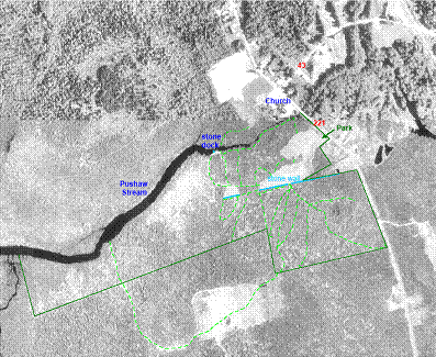
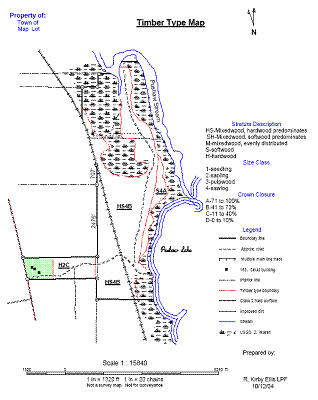
Ellis' Forest Management uses up-to-date techniques in digitizing and the creation of digital maps. We use remote sensing, aerial photography, GPS, and other techniques to produce timber type overlays, boundary maps, and timber type maps for use in all types of forestry applications.